The house before 109 Church Street
109 Church Street, and the house that stood there before it


The photographOur reading of it
Drag, or use the arrow keys. At the left you see the surviving photograph; at the right, an artist’s interpretation of it.
There is a photograph in the collection, older than anything else we hold, showing a rendered range with a tiled roof and an adjoining stone gable. A sign hangs above the door. Two men are in the frame. The building is not there now.
The dating is ours, not the photograph’s. Nothing on the print gives a year. The estimate — probably between the late 1850s and the early 1870s — comes from the photographic process, the clothing of the two figures, and the appearance of the roadside stonework.
The present 109 Church Street stands on or very near the same footprint, and post-dates the demolition: its ashlar, segmental-arched openings, string course and quoins read as later nineteenth century. It is therefore not a witness to the earlier building, and nothing in its fabric can be used as evidence for it.
The gate pier
One thing does span both. A stone pier survives at the roadside, terminating the boundary wall, and the same pier appears at the extreme left of the photograph, standing proud of a rubble wall in exactly the relationship it holds today. It is the only object we have identified in both the historic image and the standing site.
That is what makes it a control point rather than merely an old stone. A photograph can be registered to the ground when at least one object of known real-world dimension appears in it; the coping of the rubble wall, running as a near-horizontal datum across the whole frame, gives a second constraint.
It was measured on 27 July 2026 at approximately 1.43 m exposed height and 0.35 m across the face. Both figures are working values: the tape hook is not visible in the width photograph, and — more importantly — the exposed height is not the original height. Street levels in villages of this kind have typically risen between 150 and 400 mm since the 1830s through successive resurfacing, so an unknown further depth of pier stands below the present pavement.
A first comparison of proportions between the photograph and the standing stone was inconclusive, and deliberately so: it was made on a web-resolution derivative, at the extreme edge of the frame where lens distortion is worst, with the base of the pier in deep shadow. It is now a question that can be answered rather than a guess, which is progress of a sort.
The two figures
One man stands in shirtsleeves near the door; the other leans on the boundary wall with his forearms, in a long coat and hat. A note in the family research provisionally identifies them as Samuel Walters and a companion. We have not been able to test that against any independent source, and we are publishing it as a working position rather than a finding.
If you recognise either man, or have another print of this photograph — particularly one with writing on the back — we would very much like to hear from you.
Why this building is first in the queue for reconstruction
Three reasons, none of them sentimental. It is the earliest thing we can see. It is demolished, so a reconstruction shows something nobody can otherwise visit — and shows no one’s present-day home. And it has a surviving physical control point at the roadside, which is the difference between a model that is evidenced and a model that is merely plausible.
What we would like to add next
- Measure top-of-pier to ground on both the street and garden faces. The difference gives the pavement rise directly, without excavation.
- Repeat the pier proportion comparison on the master photograph rather than the web derivative, accounting for lens distortion at the frame edge.
- Photograph the junction between the pier and the later plinth wall — how one meets the other should show the sequence.
- Obtain the elevations, sections and site plan from the same architect’s set. The plans give a footprint; heights need the elevations.
- The 1838 tithe award and apportionment for this plot, and the 1873 Ordnance Survey sheet, overlaid on one another.
- Census returns for the household between 1841 and 1901.
- Deeds, if any survive in family or solicitors’ hands.
Elsewhere in the archive
Other items we hold for Church Street, in date order. Each will eventually be an entry of its own.
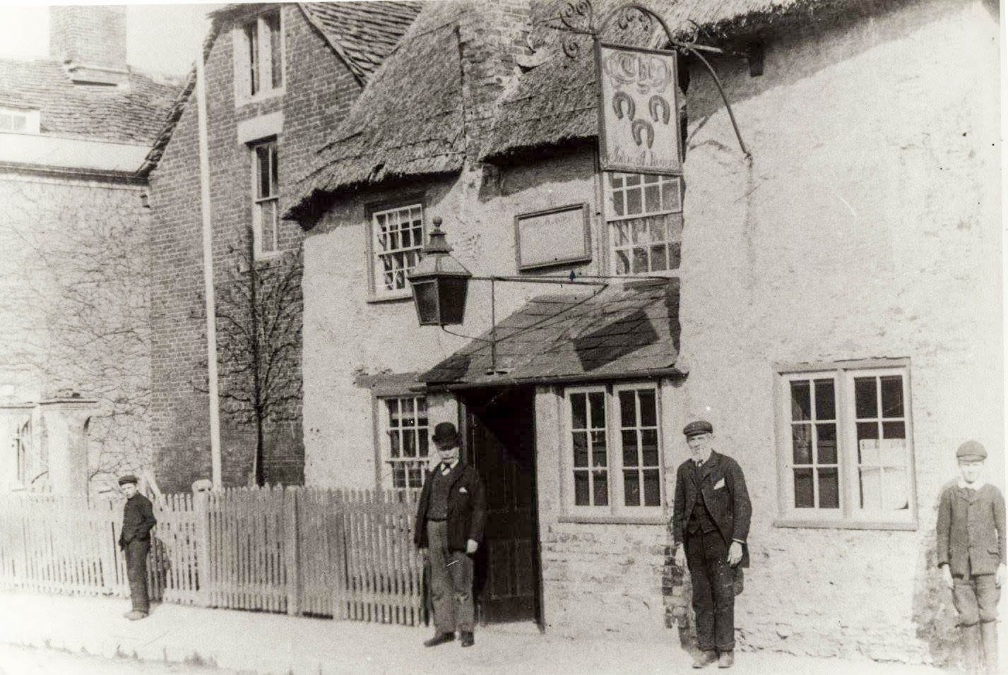
Three men outside a village frontage
probably late nineteenth century · unidentified
Open question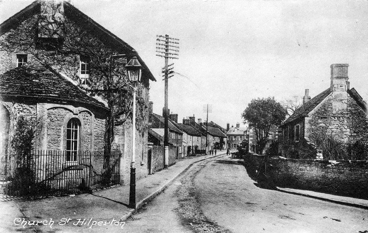
Church Street from the north
probably 1900s · probable
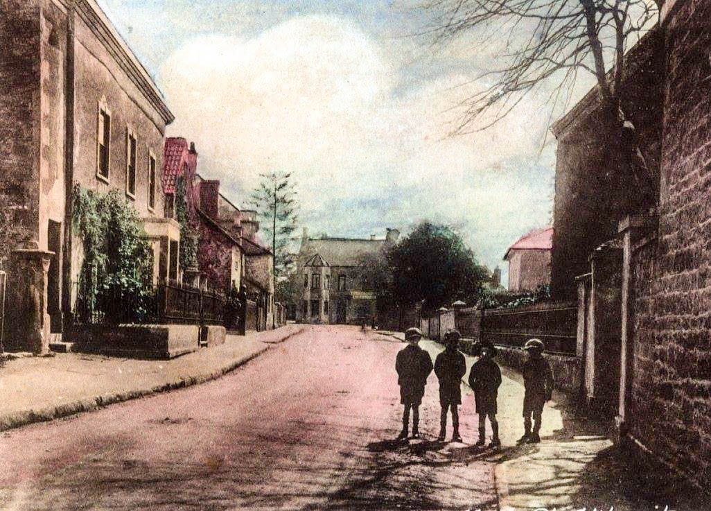
Children in a tinted street view
probably early 1900s · possible
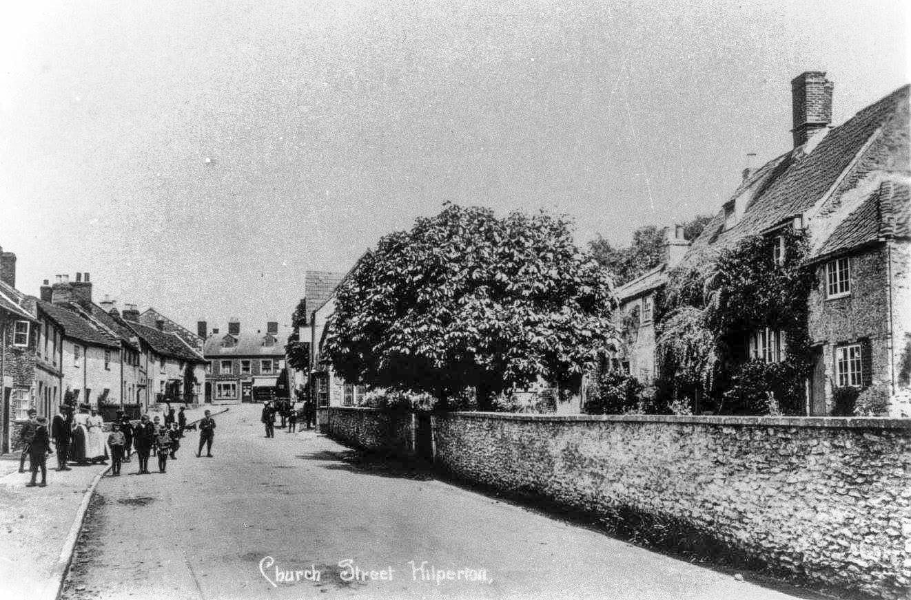
Church Street, looking towards the village
probably early 1900s · probable
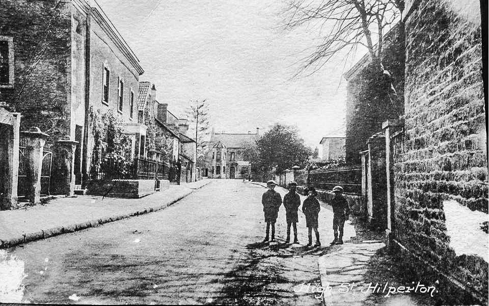
Children in the lane
probably early 1900s · possible
Open question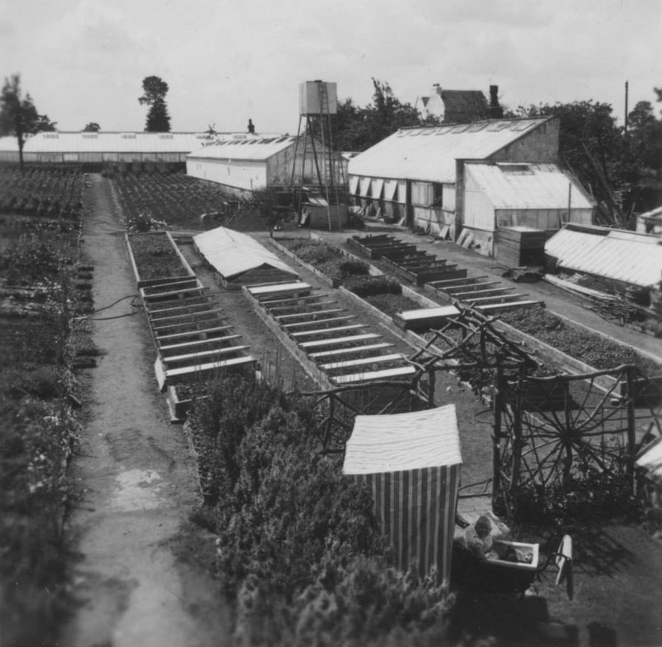
Frames and beds
probably mid twentieth century · possible
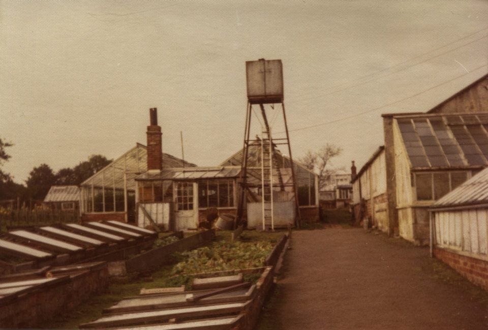
The water tower
probably mid twentieth century · possible
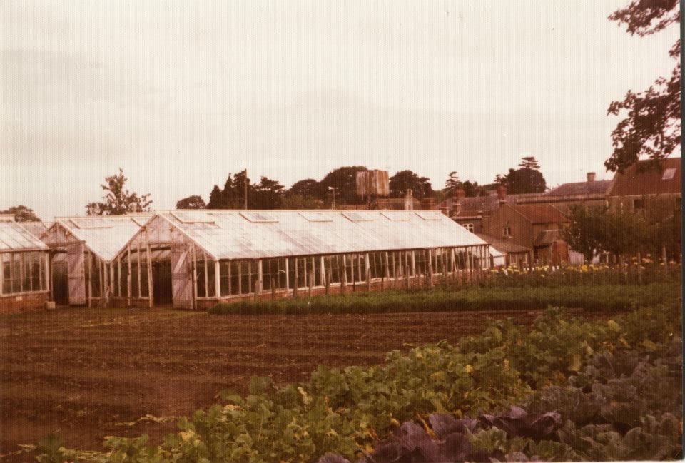
The glasshouses
probably mid twentieth century · possible
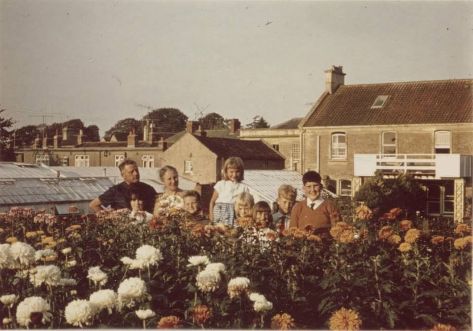
Among the chrysanthemums
probably 1950s–1960s · possible
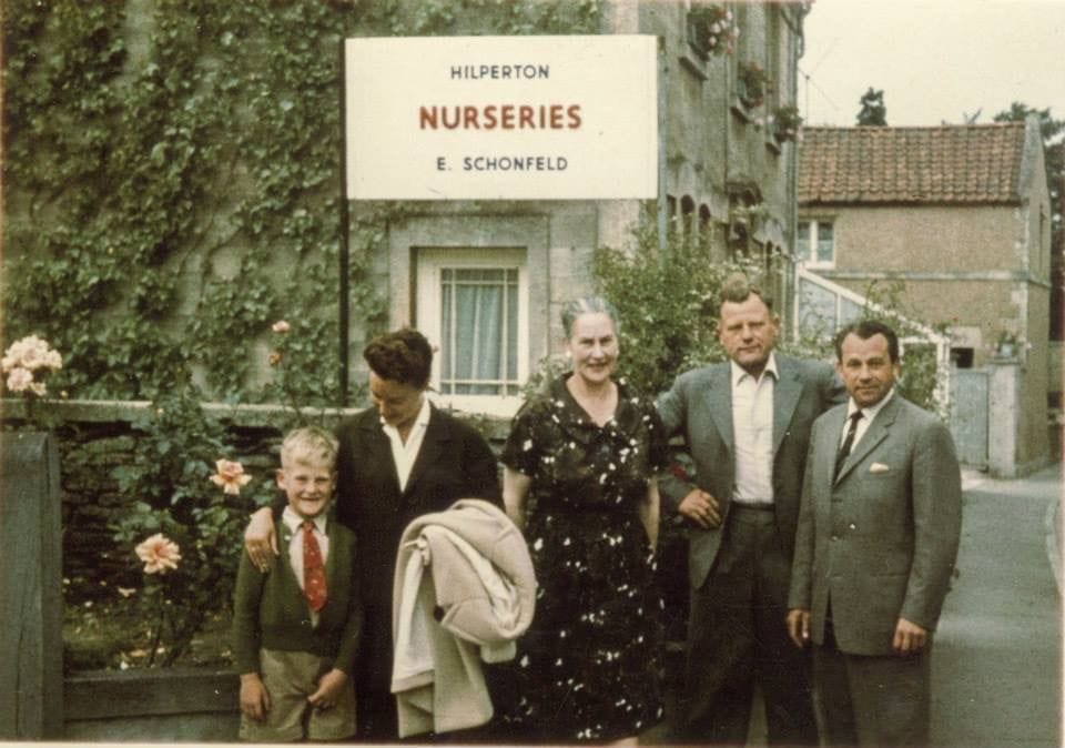
The Hilperton Nurseries sign
probably 1950s–1960s · probable
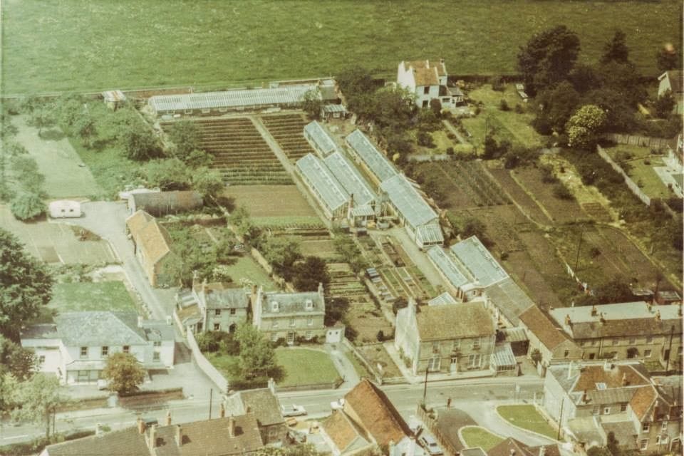
The nursery from the air
probably 1960s · possible


